JD App (SCDOT)
Built a Jurisdictional Determination Application for the South Carolina Department of Transportation (SCDOT) to support the environmental permitting process. The application allows users to upload project data, generate and view geospatial maps, classify wetlands and non-wetlands, and produce standardized jurisdictional determination reports used in regulatory submissions.
Skills
ArcGIS Server
TypeScript
Node.js
Photos
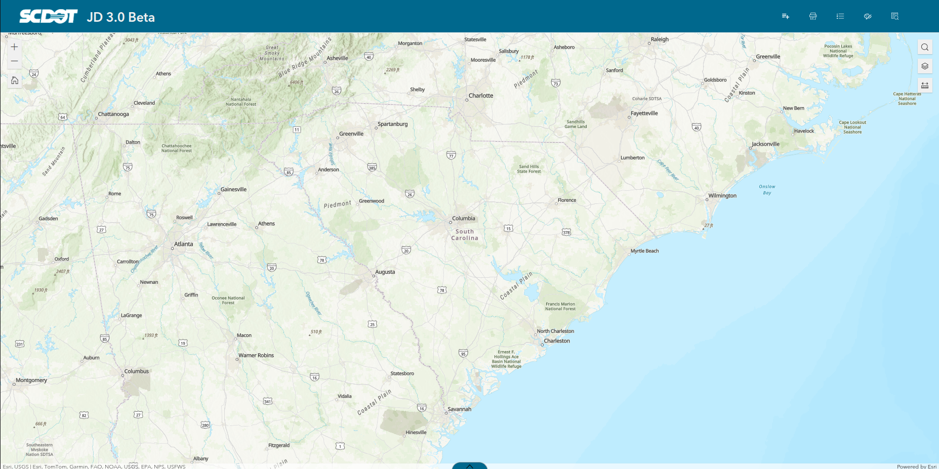
Default View
This is the default view when a user first opens the application.
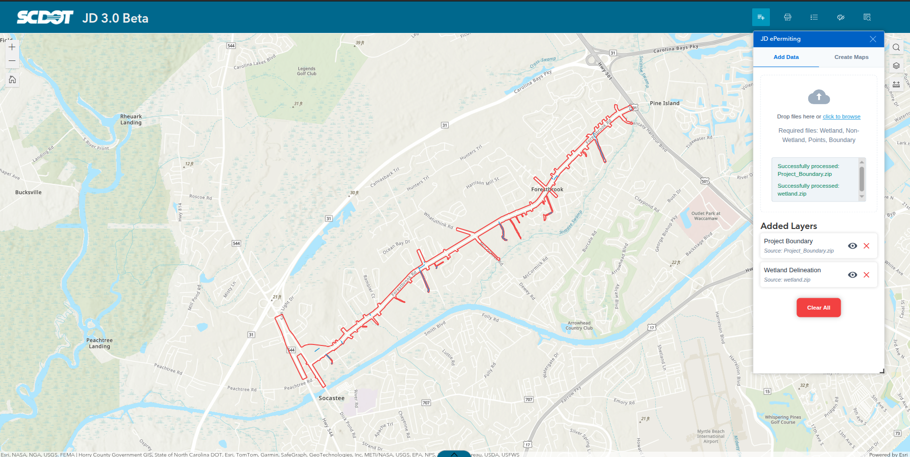
Upload Data
Users can upload four types of data: Project Boundary, Project Points, Wetland, and Non-wetland. The application requires the Project Boundary data to proceed.
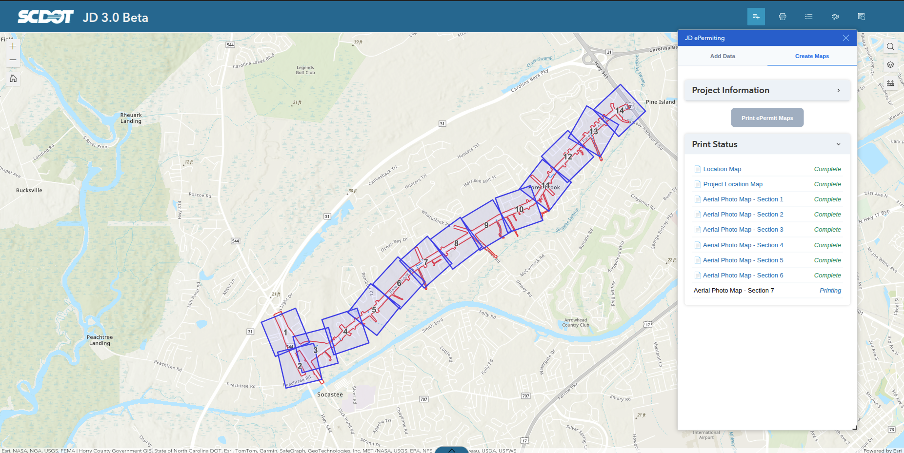
Print Maps
After initiating Map Generation, the application indexes the uploaded boundary data based on it's size. It then prints two unsegmented maps: Location and Index Maps, and 5 segmented maps: Aerial Photo, Topographic, Soil Survey, NWI, and Jurisdictional Feature maps.